Mount Béigua

Edited by:
Massimo Martini
Access
You can reach the summit area of Béigua either on foot or by car, via the tarmac road that links the hamlet of Alpicella (in the municipality of Varazze) to the municipality of Urbe, passing close to the summit. For those climbing on foot, the most popular starting points are Colle del Giovo (municipality of Pontinvrea), Prà Riondo, the centre of Sassello with the hamlet of San Martino, Veirera and Piampaludo (municipality of Sassello). The entire area is crossed by the Alta Via dei Monti Liguri, marked with red-and-white trail markers, which passes the summit along its route.
Ascent routes
From Colle del Giovo – from Colle del Giovo (Pontinvrea, 518m) – along the Alta Via dei Monti Liguri, the watershed ridge - T2 - 3h 30m - (768m elevation gain)
Introduction
Mount Béigua is the highest peak in the mountain range of the same name, in the Ligurian Apennines, just a few kilometres as the crow flies from the coast between Varazze and Cogoleto. It marks the highest point of the Beigua Regional Nature Park and the UNESCO Geopark of the same name, a plateau of grasslands and beech woodlands overlooking the sea. The summit lies within the municipalities of Sassello and Varazze.
The massif effectively separates the catchment areas draining into the Ligurian Sea from those feeding the River Po, and its proximity to the sea – rare for a peak over 1,200 metres in Italy – makes it one of the best-known vantage points in thenorthern Apennines.
Description
Mount Béigua (1,287 m) lies in the eastern part of the massif of the same name, a plateau in theLigurian Apennines situated between the Colle di Cadibona and the Passo del Turchino. It is divided into a gentler western section, centred on Bric Sportiole, and an eastern sector – that of Béigua – with steeper slopes, described by some sources as a bastion overlooking the sea almost vertically just a few kilometres away. The mountain belongs to the Beigua Group, together with Monte Grosso (1,265 m), Monte Ermetta (1,267 m) and Bric Veciri (1,263 m); in the orographic subdivision of the Apennines, the group falls within the Ligurian Apennines section, within the wider Northern Apennines region.
Geologically, the massif forms part of the vast expanse of ophiolites (the so-called ‘green rocks’: serpentinites and peridotites) that characterises the region, a remnant of an ancient oceanic lithosphere dating back some 160 million years. This composition results in mountains with bare, rugged slopes, featuring sparse tree cover in the most exposed areas, in contrast to the beech and chestnut woods on the Po Valley side. Owing to this geological feature, the area was recognised as a Geopark within the European and global Geoparks network in March 2005 and as a UNESCO Global Geopark in November 2015.
There are two irreconcilable etymological hypotheses regarding the mountain’s name: one derives it from a Ligurian or Celtic root akin to “berg” (mountain), whilst the other links it to the worship of a pre-Roman Ligurian deity, Baigus, who is said to have made the mountain a sacred place. Neither is considered definitive by the sources consulted.
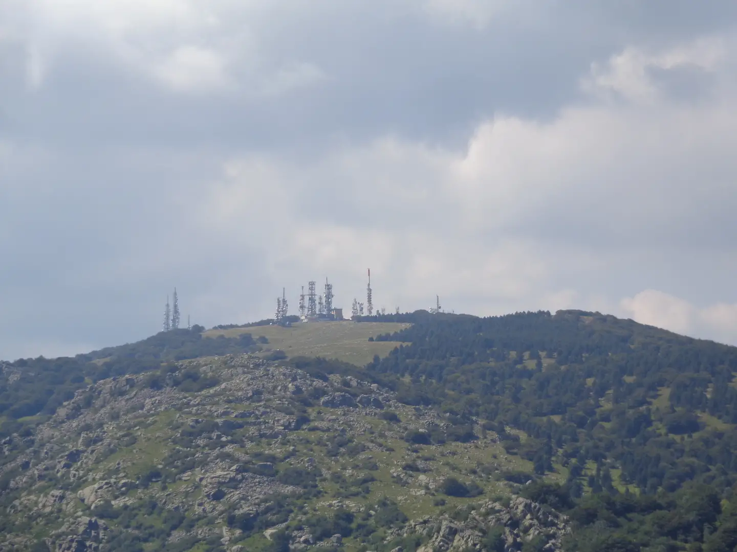
At the summit stands the sanctuary of Our Lady Regina Pacis, built in 1925, alongside numerous radio and television transmission masts. In April 1800, the summit ridges of the Béigua were the scene of clashes between the French Imperial Army and the Austrian army, traces of which remain visible in the trenches near Monte Ermetta and Bric Veciri.
The protected area is home to over 80 species of breeding birds, including the golden eagle, short-toed eagle and redstart; mammals found here include the wolf, wild boar, roe deer and fallow deer. The flora includes beech, downy oak and chestnut woods on the inland side, maritime pine forests towards the coast, and endemic or rare species such as the Viola bertolonii and the Daphne cneorum.
Information
General information
Altitude: 1,287 m
Mountain range: Beigua Range
Municipalities: Sassello, Varazze
Protected area: Beigua Regional Nature Park / Beigua UNESCO Geopark
Equipped sections: no
Accommodation
Monte Beigua Mountain Hut